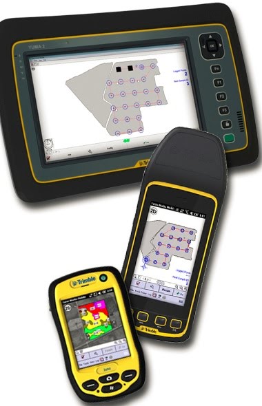
Farm Works Mobile
Farm Works Mobile allows to collect information from the field and sync with desktop software program (e.g. Farm Works Mapping) so that critical decisions can be made about operation. Mobile is designed for both farmers and service providers and installs on any field computer with Windows Mobile, Windows XP or higher. It requires GPS receiver outputting NMEA data for field record keeping.
Features
Field Records:
Enter field records on the go.
View historical records for each field.
Data entry can work independently or in conjunction with a GPS receiver to track planting dates, chemical usage, scale tickets, hybrid/variety location, etc.
Mapping and Scouting:
Map field boundaries, drainage lines, pivots, ditches, and other features with or without GPS.
View any number of background maps.
Record scouting attributes such as weed and insect types, notes, digital images from a camera, etc.
Soil Sampling:
Utilize grids or management zones.
Use the navigation line to automatically connect the target points in the order they are numbered.
Navigate to any point of interest using the compass or a 3D view of the map.
External Sensors and Variable Rate Application:
Control more than one product for variable rate application.
Compatible with GreenSeeker for logging data and real-time variable rate application.
Creates “as-applied” data which can be downloaded into Farm Works Mapping or other third party desktop software.
Simple User Interface
Seamless data transfer to Farm Works Mapping desktop software using USB connection or Connected Farm.
Supports familiar and easy to use client/farm/ field user interface.
Automatic field finder when using GPS.
Utilize large buttons on the screen for easy selection.
Import/export your data in shape file format to work with other software solutions.
Mobile Install
Download the full install of Farm Works Mobile

